Tracing the Paths People Actually Take

Today we explore mapping desire lines—using data to identify and design better urban shortcuts. By blending human observation with privacy-respecting datasets, we can transform worn grass and risky cut-throughs into welcoming connections that save time, reduce stress, and invite walking, rolling, and riding. Expect methods, stories, and practical steps you can apply on streets, campuses, and parks alike.

Why People Cut Corners

Most weekday trips run on tight time budgets, so small savings compound into meaningful comfort. Shaving twenty meters across a lawn can protect a bus connection, an appointment, or a child’s patience. People also prefer gentle curves, fewer turns, and clear sightlines. When we acknowledge this everyday calculus, we design connections that feel generous rather than scolding, shifting frustration into delight and natural compliance.
Even when an official sidewalk exists, many choose a cut that feels safer: better eyes on the street, faster escape from an uncomfortable corner, or simply avoiding puddles and uneven slabs. Perceived safety often trumps distance. Bringing lighting, visibility, and legible wayfinding to intuitive paths transforms anxiety into confidence, inviting more women, elders, and kids to move freely without worrying about isolated edges.
Markets, schools, mosques, laundromats, and taco stands set recurring rhythms that pull people diagonally across blocks at predictable times. Festivals add temporary currents; construction fences push back. Desire lines record these negotiations like pencil marks on a doorframe. Reading them with humility uncovers overlooked routines and caretaking roles, guiding designs that respect deliveries, prayer breaks, stroller trains, and the quiet shortcuts caregivers rely on daily.

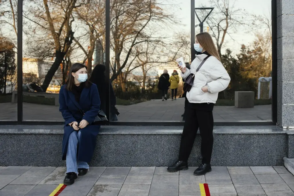
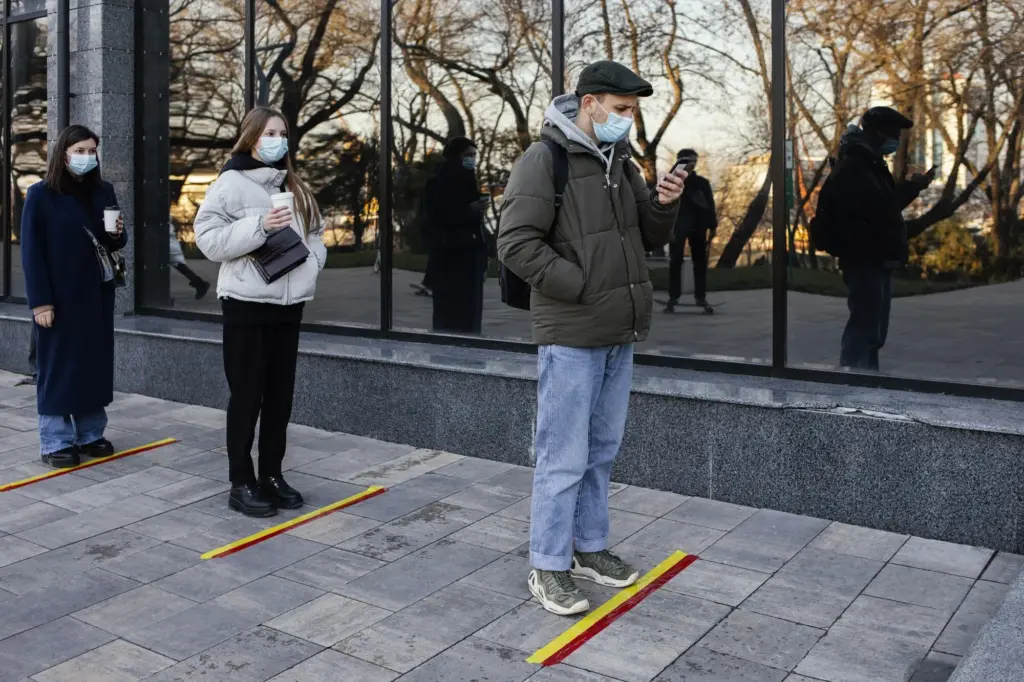
Collecting the Signals

To understand where people truly move, we combine respectful observation with multiple, consented data sources. Short video samples, anonymized GPS traces, manual counts, open mapping, and short surveys triangulate patterns while guarding privacy. Diversity of inputs helps avoid bias, capturing wheelchairs, bikes, scooters, and dog-walkers whose routes differ across weather, daylight, and weekly routines.

Ethical Mobile Traces

We use opt-in logs, aggregated to coarse tiles and time windows, deleting rare paths that could re-identify someone. Clear notices, local data stewardship, and public benefit statements build trust. Even with safeguards, we validate with on-the-ground observation, because subscription bias, dead batteries, and cash phones can distort signals, especially for youth, elders, night-shift workers, and families sharing devices.

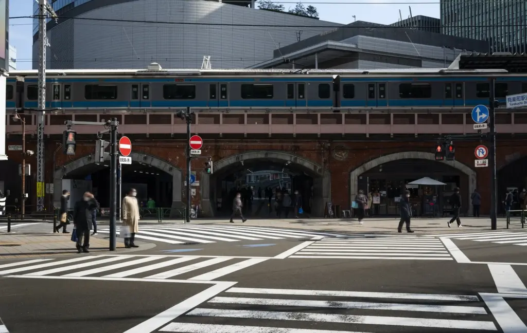
Computer Vision Without Overreach

Short clips from pole-mounted cameras or drones can reveal flow directions and cluster behaviors without storing faces or plates. Edge processing counts motion and discards imagery, retaining only anonymous vectors and timestamps. Limited sampling windows, clear signage, and community boards keep accountability high. When storms pass or leaves fall, repeating runs captures how seasons recast shortcuts and puddle avoidance.

From Raw Points to Insight

Cleaning and Normalizing

Phones report at inconsistent intervals, and GPS drifts near canyons or tall glass. We stitch segments, smooth jitter, and weight counts by sampling rates. Field notes label construction detours. By documenting decisions and sharing reproducible notebooks, we invite review, reduce hidden bias, and build a durable foundation that future teams can update without starting over.

Visualizing Flow

Good maps highlight direction and intent without overwhelming the eye. We layer arrows, thickness, and color for time-of-day differences, annotate barriers, and mark puddles, ice, and goat tracks. Interactivity allows residents to toggle school days, market days, or snow emergencies. Clear legends prevent misreadings that could punish the very people we aim to serve.

Detecting Shortcut Candidates

We look for dense, diagonal bands cutting across parcels, repetitive mid-block crossings, and clusters of fence breaches. Overlaying property lines, trees, and grades clarifies feasibility. Where folks already walk, small legal easements, dropped curbs, or a gravel ribbon can legitimize behavior quickly, reducing conflict between maintenance crews, businesses, and neighbors while protecting soil and roots.

Quick Wins with Tape and Cones

Start with low-cost pilots: mow a strip, lay temporary gravel, mark a crossing desire with tape, and set bright cones that tighten turning radii. Observe for a fortnight. If volumes hold and complaints drop, formalize the connection. Temporary tries tempt skeptics into champions by letting them feel smoother trips in real weather, boots, wheels, and shoes.

Permanent Upgrades

Once accepted, pour a gentle, permeable surface that respects tree roots and drains gracefully. Add curb ramps, tactile warning strips, and low, shielded lighting. Trim sightlines, plant tough groundcovers, and install a bench at the natural midpoint. Maintenance crews help choose edges that resist plows and bikes, reducing lifecycle costs while keeping daily travel inviting.

Inclusive Access

Honor every body. Keep grades gentle, surfaces firm and continuous, and cross-slopes tolerable for wheelchairs and strollers. Tactile cues and audible signals assist people with low vision. Shade, rest spots, and wind breaks support elders. When shortcuts welcome mobility aids and caregivers, they stop being shortcuts and become the reliable main streets of everyday life.

Measuring Impact

Improvements deserve proof. We track travel-time savings, near-miss reductions, slip-and-fall reports, and nighttime use. Counters and intercept surveys reveal who benefits and who remains excluded. We also consider joy: do people smile, linger, and bring friends? When metrics include delight alongside safety, maintenance budgets and elected leaders back the connection for the long run.

Case Files and Lessons

Real places teach best. We review a campus quad where diagonal lines refused to disappear, a riverside park where mud told the story every spring, and a transit hub where mid-block dashes endangered riders. Each case shows how careful data, empathy, and modest materials created faster, safer, happier movement without scolding or costly overbuild.

01

Campus Diagonal, Reimagined

Students crossed the grass regardless of signs, so we tested a mown strip, then crushed granite, then lights. Rain exposed a puddle that forced detours; a tiny trench and boardwalk segment solved it. Benches at desire pauses decreased lawn damage, and graduation photos began featuring the new path, converting critics who once demanded fences and penalties.

02

The Park Desire Path, Legalized

Dog-walkers carved a cool, shaded arc along oaks. We flagged roots, adjusted alignment, and chose permeable pavers settled on gravel. Volunteers planted sedges as living edges. With signage co-designed by neighbors, complaints faded. Maintenance costs dropped as erosion slowed, and kids started biking confidently to the playground instead of skirting traffic on a narrow shoulder.

03

Faster, Safer Transfers

At a transfer center, riders were sprinting mid-block to catch buses pinned by schedules. We painted a high-visibility crossing aligned with their line of travel, tightened turns, and added a refuge island. Conflicts fell, and drivers reported calmer approaches. Operators supported extending the fix across routes once they saw punctuality improve without harsher enforcement.

Map Your Neighborhood

Open your favorite mapping app or a paper printout and sketch where you actually walk, roll, or ride. Note puddles, fences, and missing curb cuts. Photograph at the same hour next week to spot patterns. Upload to an open repository, or email us directly. Your observations guide pilots and help justify funding with real, local evidence.

Share a Shortcut Story

Tell us about the time a quiet cut saved your morning, or when a muddy patch nearly sent you sliding. These narratives illuminate urgency beyond spreadsheets. With consent, we feature highlights in newsletters to persuade partners. Short voice messages, photos, or sketches are welcome, and translators stand by so language is never a barrier.